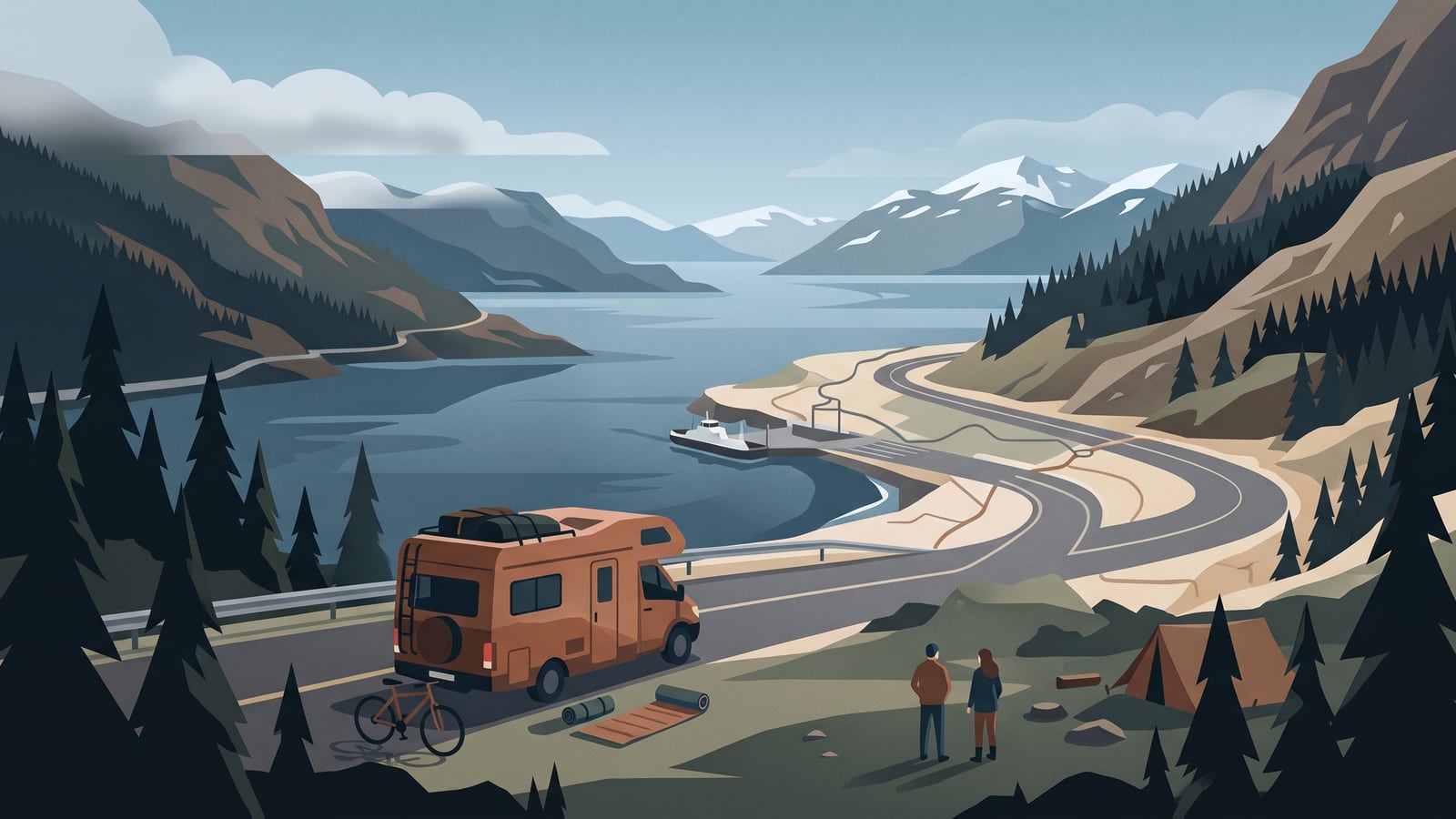
A fjord road that looks perfect on a map is still just a candidate until you've checked it against your vehicle, your current conditions, and a plan B. The method is the same whether you're driving a campervan or a motorhome: work out what your vehicle and travellers need, turn that appealing road into a provisional stage with services and a fallback attached, then check current road, weather, access and ferry information before you commit. What you do next depends on what those checks show — keep the stage, wait, reroute, shorten it, or abandon it.
This article is a desk-researched planning framework built from official Norwegian sources; it does not assess a named road, report live conditions, or record a route we've driven, and it does not recommend a specific fjord road or stop — that call depends on your vehicle, your dates, and conditions on the day. This method is built for campervans and motorhomes. If you're touring by caravan, trailer, motorcycle, or car — or driving commercially — the constraints are different enough that this guide won't cover you.
Start with the vehicle
Before you look at a single road, get your vehicle's real numbers in front of you — the loaded figures, not the brochure ones. You need:
- Height, width, and length with everything you'll carry loaded
- Total mass and axle limits
- Propulsion type — range and refuelling or recharging planning differ by propulsion
- Any restriction in your registration papers or rental agreement on where or how you can drive
Your vehicle's actual exterior dimensions — including anything fitted that changes them — may differ from the brochure figures, and loaded mass and axle loads need recording separately rather than assumed from either one. Compare your actual loaded vehicle against current signed or route-specific height, weight, or other restrictions; neither a vehicle's model name nor an app's route suggestion is a fit guarantee. If you rented the vehicle, the rental terms may also limit which roads, ferries, or regions you're covered to use — check those terms alongside the physical numbers.
Write these figures down somewhere you'll look at them again — a note on your phone, the inside of a cupboard door, whatever works. You'll need them every time you screen a candidate road.
Shape the provisional stage
Once you know your vehicle's numbers, you can start turning an appealing road into something closer to a plan. For each candidate stage, record:
- The road or route you have in mind
- The date or season you'd drive it, and daylight hours at that time of year
- The services you're likely to pass or need
- What your driver and any travellers need to keep the day workable
- Where you intend to stop for the night
- At least one lawful fallback if the plan doesn't hold up
Norway's Scenic Routes programme is a useful place to start looking. Its online index lists eighteen named routes and shows attributes such as length and elevation range, with ferry counts or winter-information links on some entries. That's genuinely useful for finding a planning lead or candidate road — it's a fast way to see what exists and roughly what shape it takes. But the designation is a discovery tool, not a status report: it does not establish current passability, permission, or vehicle fit for your specific journey on your specific date. Treat anything the index shows you as a lead to check, nothing more.
A route planner's distance or time is a starting point only. Weigh it against your vehicle, traveller needs, services, any ferry dependency, and current route-specific checks before treating that number as workable. What you're building is a stage with dependencies attached, and you'll check each one before you rely on it.
Three valid outcomes
Once you've shaped a stage, it isn't a decision you make once and forget. It's something you keep revisiting as information changes — three reasonable outcomes, and none of them the default.
| Outcome | Makes sense when | Trade-off |
|---|---|---|
| Retain the stage | Your vehicle figures fit current restrictions, access and any ferry dependency check out, current road and weather information is clear, the driver is fit to drive, and the fallback still holds. | Requires renewed checks before departure and while conditions may have changed — a check made once doesn't cover the whole trip. |
| Wait and reassess | A volatile condition — weather, a warning, an unconfirmed dependency — could resolve with a bit of time, and delaying is workable. | May shift bookings, the overnight plan, or later stages in the trip. |
| Reroute, shorten, or abandon | A closure, unsafe condition, incompatible restriction, unresolved permission, unavailable fallback, or lost operating margin defeats the plan as it stands. | The replacement road or stop needs its own checks — you can't assume it inherits the ones you already did. |
Retaining the stage keeps your intended services and overnight plan intact, but only while the underlying checks stay good. Waiting preserves the route as a possibility without pretending the current warning or closure isn't there; it just requires a place to wait and enough slack in your schedule to absorb the delay. Rerouting or stopping makes sense when something concrete — a closure, an unclear restriction, a fallback that doesn't pan out — makes continuing unwise. Think of it as protecting the trip rather than losing it. None of the three is a licence to push on regardless of what you find.
Fjord-road stage check
This template can't tell you whether a stage is legal, currently available, a good fit for your vehicle, whether your vehicle is in safe condition to drive, or how much driving time is safe for the day. It just organises the checks you still need to make and the decision that follows. Copy the fields below for each stage you're considering.
Fjord-road stage check — blank template
- Date or season, and intended road or route
- Actual loaded height, width, length, mass, and axle limits; propulsion type; relevant registration or rental restrictions
- Driver and traveller needs affecting pace or stopping (rest, sleep, mobility, young or older travellers, animals)
- Current NPRA road check (date/time noted); current Yr forecast/warning check; current Varsom check where relevant
- Applicable municipality, protected-area authority, road-owner, landowner, or ferry-operator check
- Services expected en route; intended overnight arrangement; lawful fallback if that arrangement doesn't work out
- Conditions that would trigger waiting, rerouting, safe stopping, or abandoning the stage
- Initial decision → changed condition (if any) → interpretation → revised decision → next live check due
Worked example (fully hypothetical — no real road, vehicle, municipality, or operator)
A traveller is considering an unnamed fjord road for a July afternoon in a motorhome. Their illustrative loaded vehicle record shows a height of 2.9 m, a width of 2.3 m, and a length of 6.8 m. The gross mass is 3,400 kg, with a front-axle limit of 1,850 kg and a rear-axle limit of 2,050 kg recorded on their registration document. It's a diesel vehicle, and their rental agreement confirms cover for travel throughout mainland Norway. The travel party is one driver, who prefers to stop by early evening.
They check the relevant municipality's current guidance for any local restriction on the intended overnight area, and confirm with an unnamed campsite operator that arrival that evening is currently possible. As a fallback if the campsite turns out to be full, they've identified an unnamed roadside layby and checked it against the exact applicable authority for that spot — the landowner's posted terms and current signs — rather than assuming the municipality's rules alone cover it.
They check current NPRA road information and see nothing flagged against the route; they check Yr and see a clear forecast for the afternoon. Their initial decision: retain the stage.
Before setting off the next morning, they check again — and this time an assumed official closure notice affects part of the intended road, with no stated reopening time. They treat this as overriding yesterday's clear check rather than something it still covers. Rather than pushing on to see if the closure has lifted, they revise the decision to wait, reopen the NPRA and Yr pages after a few hours for an update, and confirm the layby fallback still works if the closure holds into the afternoon. The next live check is that reopened NPRA page.
Make the current checks
The fields above point to several sources worth having open before you commit to a stage. Each covers a different part of the picture, and none of them covers all of it.
Roads and warnings
Norway's road authority, the NPRA, publishes current road information — alerts, general traffic information, webcams, and mountain-pass status — along with documented information for selected rough-weather roads, bridges, and tunnels — not a blanket coverage of every road and structure in the country. It also offers heavy-vehicle functions covering axle load, legal routes, permitted length and height, rest stops, and mapped height restrictions; these are explicitly built for heavy vehicles and shouldn't be read as general guidance that applies to an ordinary campervan or motorhome.
For weather, Yr is the practical starting point: it carries forecasts and public warning information from Norway's meteorological service. Varsom carries warnings for land and other natural hazards relevant to route conditions. Both inform your planning; neither one makes the decision to drive for you.
Access and overnighting
Driving access, roadside parking, sleeping in the vehicle, camping behaviour, and off-road motor travel are five separate questions — a green light on one doesn't answer the others. Norway has a right-to-roam framework known as allemannsretten, but motorised travel is not established by allemannsretten, and where you need a definite answer, the relevant bodies are the Norwegian Environment Agency and the exact municipality, protected-area authority, road owner, landowner, or operator whose signs and terms apply to that specific place — not a single generic rule that covers all of them.
Private roads add another layer. A private-road owner may restrict motor traffic — with signs, a barrier, or a toll — and that says nothing about what the owner of a particular unnamed road has decided. NPRA's guidance on ferry terminals and rest areas is worth carrying with you specifically: these are not intended for overnight stays, and the practical instruction is to follow signs and markings at the site rather than assume the point applies everywhere else or nowhere at all.
Ferry dependencies
If the Scenic Routes index or a map shows a ferry symbol on your candidate road, treat that as a dependency you now need to resolve. A route line or discovery result can flag a possible ferry dependency, but it remains provisional until you've identified the actual crossing and checked the named ferry operator's current timetable, vehicle classification, declared dimensions, booking, payment, cancellation, and availability information. Until then, leave schedules, prices, and vehicle-category assumptions out of your plan — there's nothing yet to check them against.
When two assumptions fail
Picture an unnamed campervan stage that includes an unnamed ferry crossing, with the plan to spend the night somewhere near the terminal afterward. Neither assumption has been checked yet: the operator's current terms for this crossing are unknown, and nothing about a terminal car park tells you whether overnight stays there are allowed. The ferry discovery result has done its job — it flagged a dependency — but it can't supply the terms, and visible parking space can't supply permission.
The safe move here is to keep the stage provisional on both counts. Contact the named operator about current vehicle and booking terms for that crossing, and check the relevant municipality, protected-area authority, or the terminal operator's own signage for whatever overnight arrangement is in place nearby. If either check comes back unresolved by the time you need to decide, the sounder choice is a stage that doesn't depend on that crossing, paired with an overnight arrangement you've already confirmed. A route line and an empty parking bay aren't enough to rely on instead.
Know when the plan stops
However good the plan looks on paper, some conditions mean you don't start — or you stop as soon as it's safe to do so:
- The driver is sleepy, impaired, unwell, overwhelmed, or unable to concentrate
- An official closure, evacuation instruction, warning, or unsafe road condition affects the stage
- A vehicle-fit or access question is unconfirmed or contradicted by what you've found
- A fallback turns out not to be available when you need it
- A vehicle fault or data point you can't resolve on your own
Current NPRA, Yr, and Varsom information tells you what's happening on the road and in the weather, but none of it makes the decision for you — the driver makes the live decision, and waiting, rerouting, stopping safely, or abandoning the stage are all valid outcomes. None of those outcomes means the trip has failed; they mean the plan responded to something real. If a vehicle question is the sticking point — a warning light, an uncertain weight figure, a fault you can't explain — that's a question for the vehicle manual, the registration record, the rental provider, roadside assistance, or a qualified service, not something to work out from a checklist by the roadside.
Where to go next
This article sits in the routes and destinations hub, alongside guidance on the practical mechanics behind a stage like this one. If your vehicle's numbers are the part you're least sure of, how vehicle size and weight shape a route goes deeper on that question. If you're still working out how much a single day should hold, how to plan a comfortable road day picks up where the stage-shaping section here leaves off, and what to book and what to leave flexible helps you decide which parts of a trip like this are worth locking in early. All of it sits under the wider road-touring section if you want to work back through the basics.
Your next step: open the actual vehicle record and copy its route-relevant dimensions and mass limits into the first fjord-road stage check.