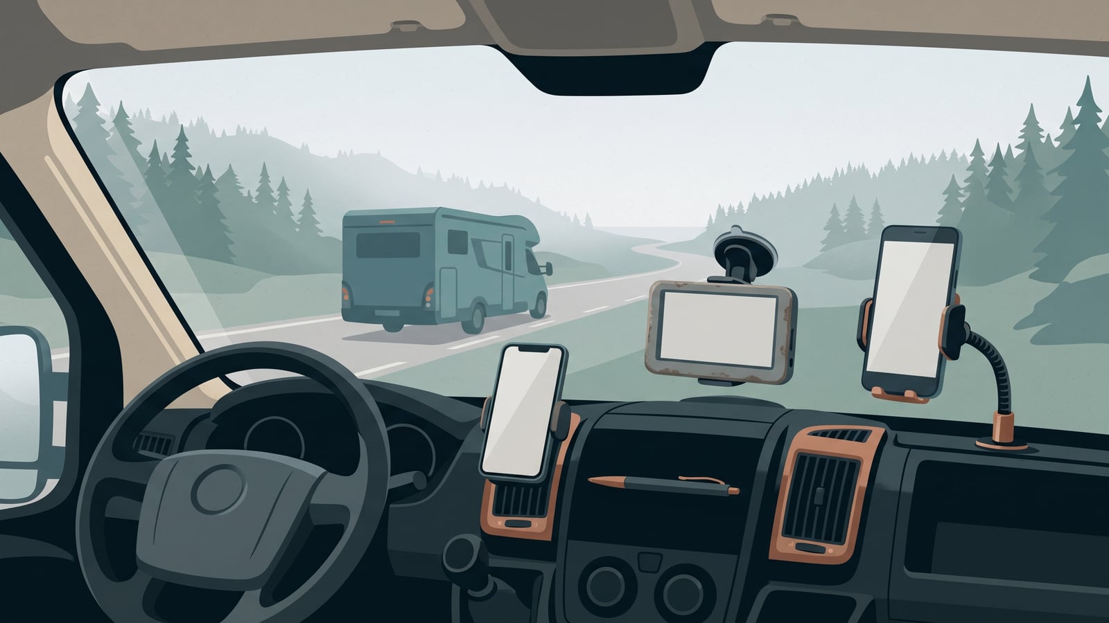
The core trade-off
Should you navigate with the phone in your pocket, buy a dedicated sat-nav, or run both? This isn't a question of which brand you like. It's a question of screen space, cockpit power, mounting, and whether your vehicle's size means routing needs to account for height and weight.
Every navigation option here is exact-model and exact-service specific, and none of them guarantees that a route is clear or legal to drive. If a suggested route conflicts with current signs, restrictions, closures, road conditions, weather, or authority instructions, or if you can't confirm your vehicle's relevant dimensions or mass, stop or reroute rather than continuing on the device's word.
Three workable setups
Three setups make up this comparison: your phone on its own, a dedicated portable sat-nav, or the two running together. Before you compare them, check something physical first: how many 12V or USB outlets does your cab have, per your vehicle or rental documentation, and where could a mount sit without blocking your view through the windscreen? Match that against what each option below asks of your cockpit. Don't install, modify, or overload an outlet or mount to make a setup fit — if capacity is uncertain, ask the manufacturer, the provider, or a qualified installer.
| Phone-only | Dedicated sat-nav | Combined two-device | |
|---|---|---|---|
| Hardware & cost commitment | A possible mount or app cost if you don't already have one | Purchase and mount, unless you already own a suitable unit | Possible added purchase or mounting cost, plus two devices to maintain |
| Screen & cabin interaction | One screen shared between driving, calls and messages | A screen dedicated to driving | Two screens, each with one job |
| Charging & power burden | One device drawing cockpit power | One device, plus a mount and a power connection | Two devices to keep powered and positioned |
| Vehicle-specific routing | Depends entirely on the app; confirm whether it supports vehicle-dimension routing before relying on it | Documented on four named Garmin models (RV 890, Camper 890, RV 1090, Camper 1090), which accept entered height, width and weight | Confirm the exact device carries this and supports it before relying on it |
| Offline / data reliance | Depends on the app's download and storage controls | Depends on the model's preloaded coverage | Split across both devices' own controls |
Where accessibility matters, add one more check: does the device suit the driver who'll use it — its screen size, controls, mounting height, and interaction method — and are its power and mounting needs realistic for your cab? Whatever the season or route, also check the exact device's documented operating conditions against what you expect to meet.
Matching setups to your vehicle and style
The comparison above shows the shape of the trade-off. What suits you depends on your vehicle and how you travel. The situations below are hypothetical illustrations, not accounts of a trip anyone took, but they're grounded in how each setup behaves.
A phone-only cockpit
This setup suits solo drivers or couples in a standard-dimension campervan who already own a decent smartphone and don't want another gadget on the dashboard. Depending on the app, you may be able to download offline map regions — Apple Maps on a compatible iPhone, for example, lets you download a defined area for offline directions and manage that storage on the device, subject to regional availability.
The trade-off is sharing one screen: a call, a message, or a passenger reaching for the phone may compete with your navigation, depending on how the exact device and app handle it.
Picture a couple touring in a compact campervan that fits standard car-sized parking and clearance limits. Before they set off, they download the offline map region they'll be crossing in Apple Maps. On the road, they mount the phone on the dashboard, share a single USB charger, and let a passenger handle calls so the driver's screen stays free for the route. Because their vehicle doesn't need dimension-aware routing, they never feel the gap a phone-only setup would leave for something bigger.
Skip this option if you're driving a larger coachbuilt motorhome that needs height or weight routing, or if your phone will be in frequent demand for calls and messages while you're also relying on it to navigate.
A dedicated sat-nav with vehicle profiles
This is the setup worth considering for larger motorhomes where clearance matters. Named models such as Garmin's Camper 890, RV 890, Camper 1090 and RV 1090 let you enter your vehicle's height, width, length and weight and use those figures in route calculation. That leaves your phone free for everything else, and it keeps your navigation screen from sharing space with notifications.
A sat-nav that has taken your vehicle dimensions and weight can use them for route calculation, but map data limitations mean it cannot guarantee every restriction or bridge clearance, and road signs still govern.
If you're setting up a vehicle profile like this, our guide to building a vehicle profile for route and ferry planning covers how to gather the dimensions correctly from a single reliable source before you enter them anywhere.
Compare that device's power, mounting, and update needs with your cab before you buy — these vary by model.
Take a solo driver in a 7.5-metre coachbuilt motorhome, 3.1 metres tall, weighing 3.85 tonnes laden, crossing a region full of older rural bridges. They've entered those figures into a Garmin Camper 890 so it can use them in route calculation. They still keep a phone mounted nearby for checking campsite opening hours once parked.
This option is a poor fit on a tight budget or in a vehicle no bigger than a standard car, where dimension-aware routing solves a problem you don't have.
A combined two-device layout
Running a sat-nav and a phone together suits touring parties who want dedicated large-vehicle routing and live phone search — for finding a fuel station or checking a campsite's availability — without either job interrupting the other. Separating the two roles is a preference some travellers find useful, though how well it works depends on how the two devices are set up and shared.
The cost is complexity: two mounts, two sets of cables, and more demand on your cab's 12V and USB outlets. You're also keeping two sets of maps and settings current instead of one.
Picture an extended-touring couple splitting the roles: one device runs the sat-nav with the vehicle profile loaded, the other stays in a passenger's hand for messages, bookings, and searching ahead. It works well when there's a second person to manage the second screen, and less well for a solo driver with one pair of hands and one stretch of dashboard.
This setup makes least sense for a solo driver in a compact cab with little mounting room, or in any vehicle without confirmed outlet capacity and mounting space for both devices' documented power requirements.
Signals, maps, and clearance realities
The Galileo Open Service supplies positioning, navigation, and timing signals to compatible receivers, with a stated horizontal accuracy in the range of one to two metres, but that service does not establish map coverage, offline routing, or route suitability. In plain terms: the satellite signal tells a device where it is. What roads look like, where the low bridges are, and whether an app has cached a region for offline use are separate layers, built by the map and routing software rather than by the positioning system underneath it.
Charging standards and cockpit power limits
EU rules on common chargers affect this too. Covered wired-rechargeable phones and portable sat-navs placed on the EU market from 28 December 2024 must have a standard USB-C port. If a device's wired-charging capability exceeds any one of 5 volts, 3 amps, or 15 watts, it also has to support USB Power Delivery, and the manufacturer can't lock that out with its own charging protocol. If the same model is offered with a charger, you must be able to buy it without one, and the power requirements and supported charging protocols have to be clearly labelled.
Swedish road rules for device use
These rules are Swedish law, and this section covers Sweden only — check the current road-traffic authority for the rule that applies if you're driving elsewhere.
In Sweden, a driver of a motor-driven vehicle on a road must not use a mobile phone or other communications equipment while holding it in the hand, and use of such equipment while driving must be such that it does not adversely affect safe driving.
Where to go next
This article is part of our vehicle and equipment coverage, alongside guides on building a vehicle profile for route and ferry planning, how vehicle size and weight shape your route, and running pre-departure and daily vehicle checks. If mobile signal and data planning is next on your list, the mobile data and connectivity guide picks up from here. All of it sits within the wider road touring section.
Your next step: list the navigation equipment you already own, check your vehicle or rental documentation for its outlet capacity and available mount positions, and note your vehicle's laden height and gross weight. That list gives you a provisional shortlist from the three setups above — not a final answer, since screen-sharing, offline needs, and accessibility still matter — but it tells you which options your cab can support.